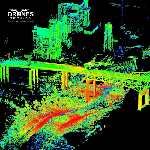
About Aerial thermal inspection with drones
When you carry out an inspection with drones, you are able to access those areas that might pose safety, health and environmental hazards. The offshore environment is known to be demanding and tough where one needs to keep in check both the installation and inspection equipment at all times for any kind of faults as well as loss of production.
With the help of drones you can also keep your workforce safe from the danger zones by making safe inspections of those areas which are in risky zone. Furthermore, you get the images of critical components, instead of shutting down or disturbing the production process. You also can gather data and images of any turbulent or flame-filled environment, without your workforce getting harmed.
It has proved to be invaluable aid in other applications such as
Solar Farms and panels
Agriculture
Firefighting
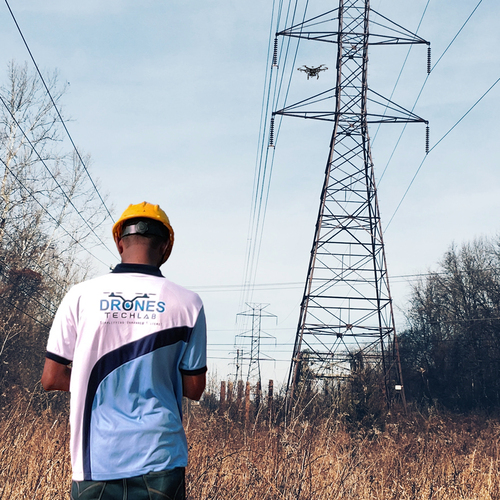
Cell Towers
Wind Turbines and Wind Farms
Natural Gas, Chemical and other Industrial Storage Tanks
Search and Rescue
Road, infrastructure and construction inspections
Cutting-edge Thermal Imaging With Radiometric SensorsOur drones feature radiometric thermal sensors, offering precise temperature measurements and thermal imagery for industrial asset inspections. The robust sensor technology enables detection of faults or inefficiencies, supporting informed decisions and proactive maintenance.
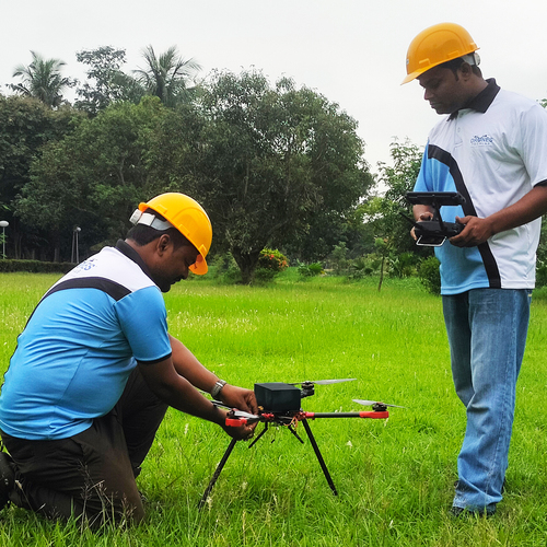
Rapid Deployment and Efficient OperationsInspections are operational within 10 minutes, facilitated by high-capacity lithium-polymer batteries and expert UAV pilots. The streamlined process minimizes downtime and ensures swift coverage of large or inaccessible areas, maximizing productivity without interrupting routine operations.
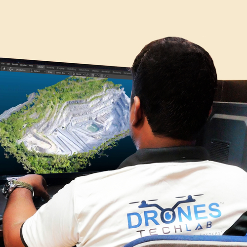
Secure Data Handling and Remote AccessibilityThermal data is stored locally on onboard SD cards and can be uploaded to the cloud for remote access. Clients benefit from real-time streaming and monitoring capabilities, allowing stakeholders to view inspections as they happen and obtain actionable information instantly.
Pan-India and Global Service ReachOur aerial inspection services cover sites across India and, with compliance to international standards, can extend globally. Each operation is led by certified pilots and conducted under the strictest regulatory standards, ensuring safety and reliability wherever you are.
FAQs of Aerial thermal inspection with drones:
Q: How are aerial thermal inspections conducted using these drones?
A: Certified UAV pilots deploy radiometric thermal sensor-equipped drones, which are ready to fly within 10 minutes. The drones scan target assets, capturing thermal data in real time and identifying temperature anomalies with precision.
Q: What kinds of issues can be detected through your thermal inspection service?
A: The radiometric thermal sensor identifies temperature variances between -20C and 400C, making it effective at locating overheating electrical components, insulation defects, leaks, mechanical wear, and other hidden problems within industrial environments.
Q: When should industries consider scheduling an aerial thermal inspection?
A: Thermal inspections are recommended during routine maintenance cycles, post-installation checks, seasonal audits, or whenever a fault is suspected. Annual calibrations and maintenance also help maintain accuracy and compliance with industry standards.
Q: Where is your thermal drone inspection service available?
A: We offer services pan-India with the capability to operate globally, subject to local regulatory compliance. All operations adhere to DGCA/FAA standards and are managed by certified UAV pilots for industrial use.
Q: What is the process for receiving and storing the inspection data?
A: Thermal data is securely recorded on onboard SD cards during the flight. After inspection, the data can be easily uploaded to the cloud for remote access, real-time streaming, analysis, and archiving as needed.
Q: How does remote monitoring and real-time streaming benefit stakeholders?
A: Remote monitoring allows clients to oversee inspections live, making timely decisions and increasing transparency. Real-time streaming ensures immediate detection of critical issues, supporting rapid response and collaborative troubleshooting across locations.
Q: What are the operator and compliance requirements for your inspection service?
A: Every operation is handled by certified UAV pilots in adherence to DGCA/FAA industrial standards. Annual calibration and maintenance of the radiometric sensors ensure sustained accuracy and regulatory compliance.


 Send Inquiry

 English
 Spanish
 French
 German
 Italian
 Chinese (Simplified)
 Japanese
 Korean
 Arabic
 Portuguese