Product Description
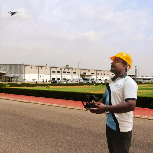
Though there is an excitement around Drones, many are unaware of its multiple uses. For the last few years, surveying companies have been constantly being challenged to raise their efficiency. Though technology has to some extent satiated the growing demands, it is the use of drones that help create these efficiencies in a structured and detailed manner.
Drones provides the surveyor with varied options that can range from reducing man-hours to 60 % to processing the data. With highly skilled technology operators, monitoring a drone becomes quite easier.
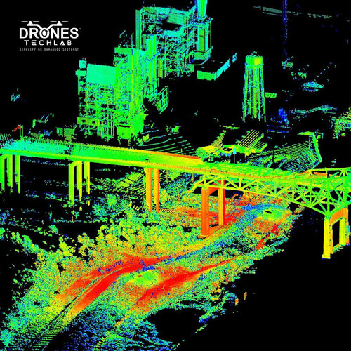
3D mapping
Photogrammetry
Topographic surveying
Land surveys
Can be flown over difficult terrains
Incredible accurate data
 Send Inquiry