Product Description
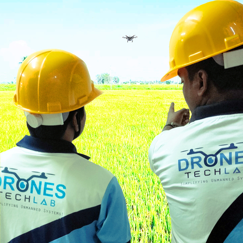
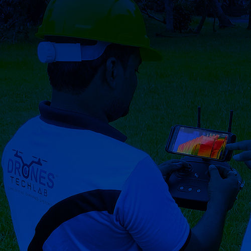
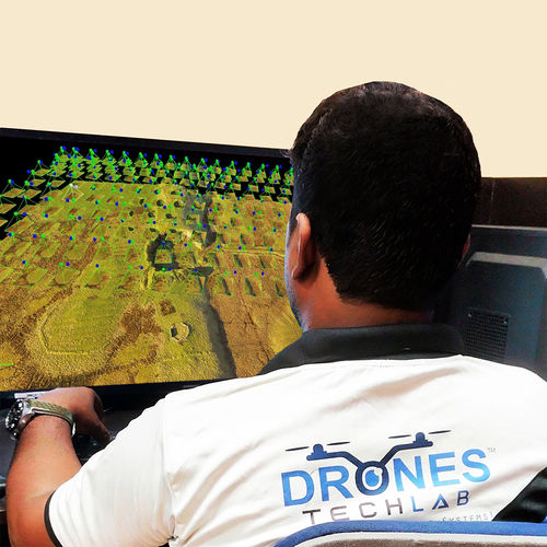
Brand- Drones Tech Lab
Modes- Auto Pilot
Camera Technique- Digital
Service Duration- Area wise
Accessible on Mobile- Yes
CAD supported- Yes
2D-3DMap- Yes
Looking for precise mapping that will give the exact datas to your business. Drones technology can be used for GIS Data surveying and also in mapmaking experience. They are known to continuously provide updates and comprehensive databases. The drone offers you the best solution for your organization in terms of best-in class data processing software and being cost effective.
 Send Inquiry